
Lençóis Maranhenses: a guide to photographing the desert of a thousand lagoons
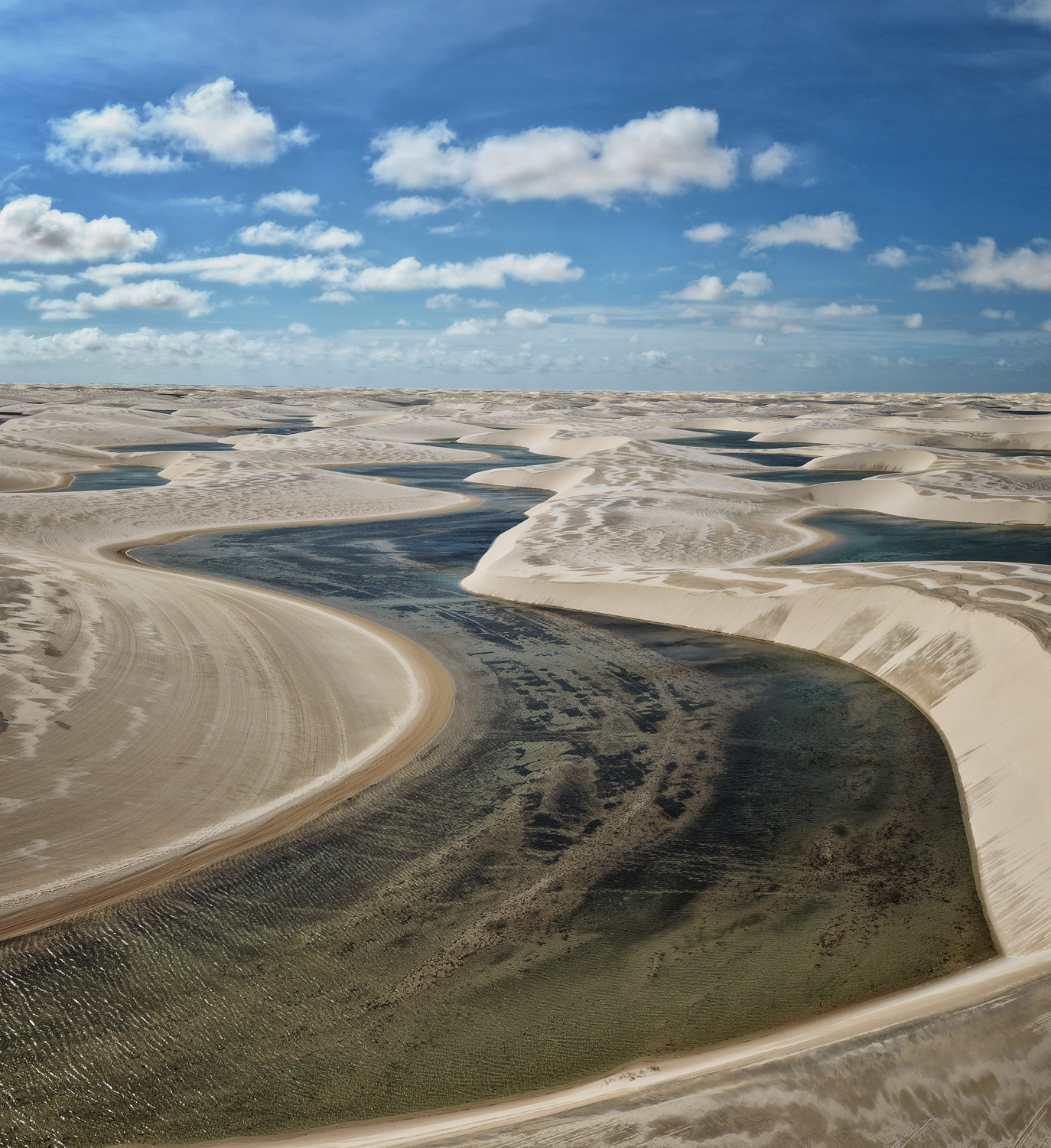
Some landscapes are hard to believe even when they are right in front of you. Lençóis Maranhenses is one of them: a field of white dunes in north-eastern Brazil that, every year, fills with thousands of turquoise freshwater lagoons. It is not a mirage or a Photoshop composite. It is the largest dune field system in the southern hemisphere and, since 2024, a UNESCO World Heritage Site.
We have just come back from there with one of the most surreal landscape series we have ever photographed. This guide brings together what we learned on the ground and what the official sources say —the property’s entry at UNESCO and ICMBio, the body that manages the park— so that you can plan your own: what exactly these dunes are, when there are lagoons and when there are not, how to get there, what gear to take and what permits you need if you are thinking of flying a drone.
What Lençóis Maranhenses is (and why it is not a desert)
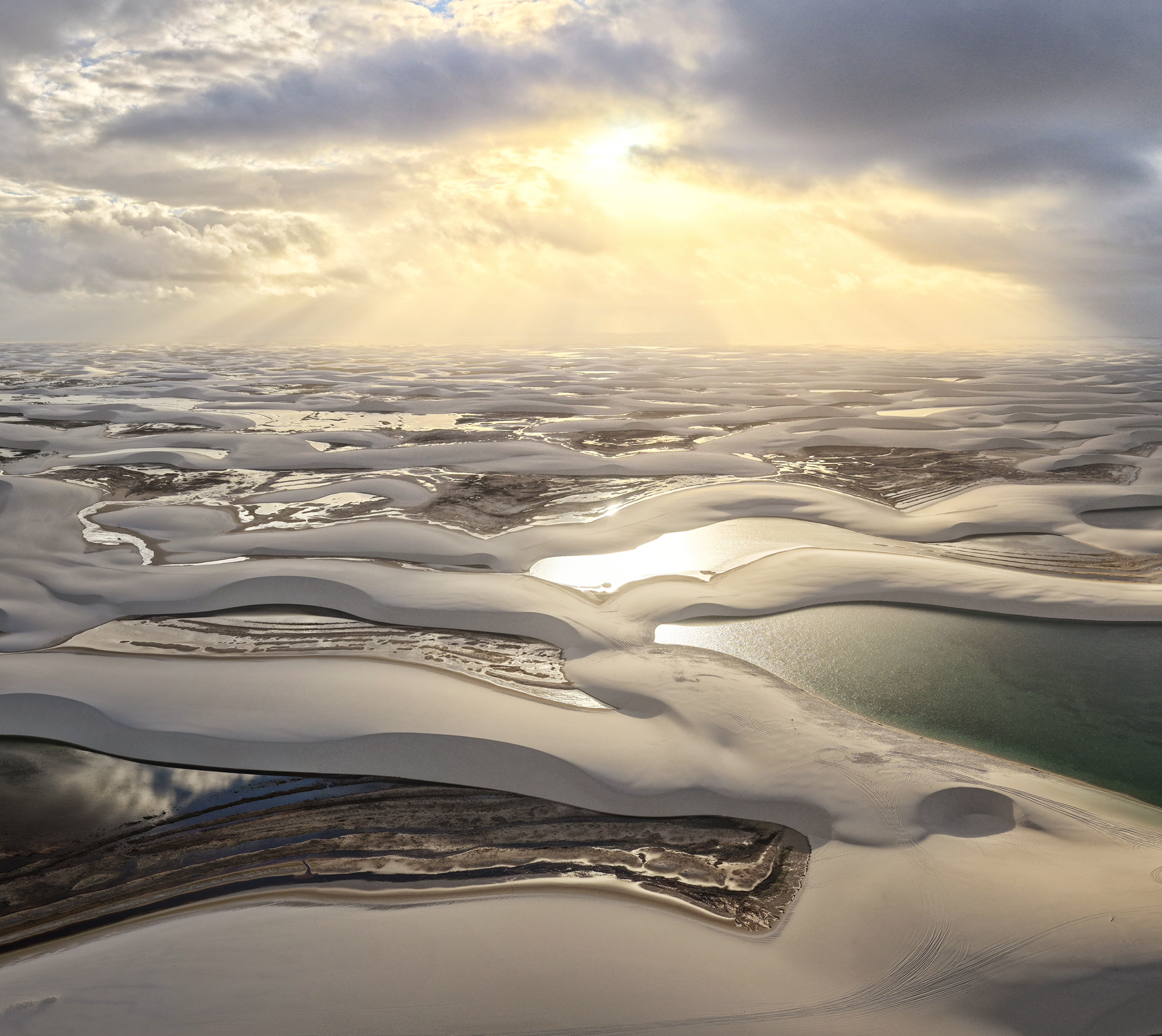
Lençóis means “bedsheets” in Portuguese, and from the air you understand why: the dunes link together in white folds that look like a bed that has just been slept in. Parque Nacional dos Lençóis Maranhenses was created in 1981 by Decree nº 86.060 and protects 156,608 hectares of dunes, lagoons, mangroves and restinga in the state of Maranhão, according to ICMBio data.
The first thing worth correcting is the vocabulary: despite the popular nickname, Lençóis is not technically a desert. It rains a lot here —far more than in any desert— and it is precisely that rain that creates the lagoons. What you have is a coastal dune field fed by the sand that the rivers carry out to the Atlantic and that the wind returns inland.
The figures given by UNESCO help to put it in perspective: the system stretches along some 80 kilometres of coastline, with barchan dunes reaching 30 metres in height that migrate inland at a rate of between 4 and 25 metres a year. In other words, the landscape we photographed literally was not there a few years ago and will not be there a few years from now. For a landscape photographer, that is pure gold.
Why they fill with lagoons
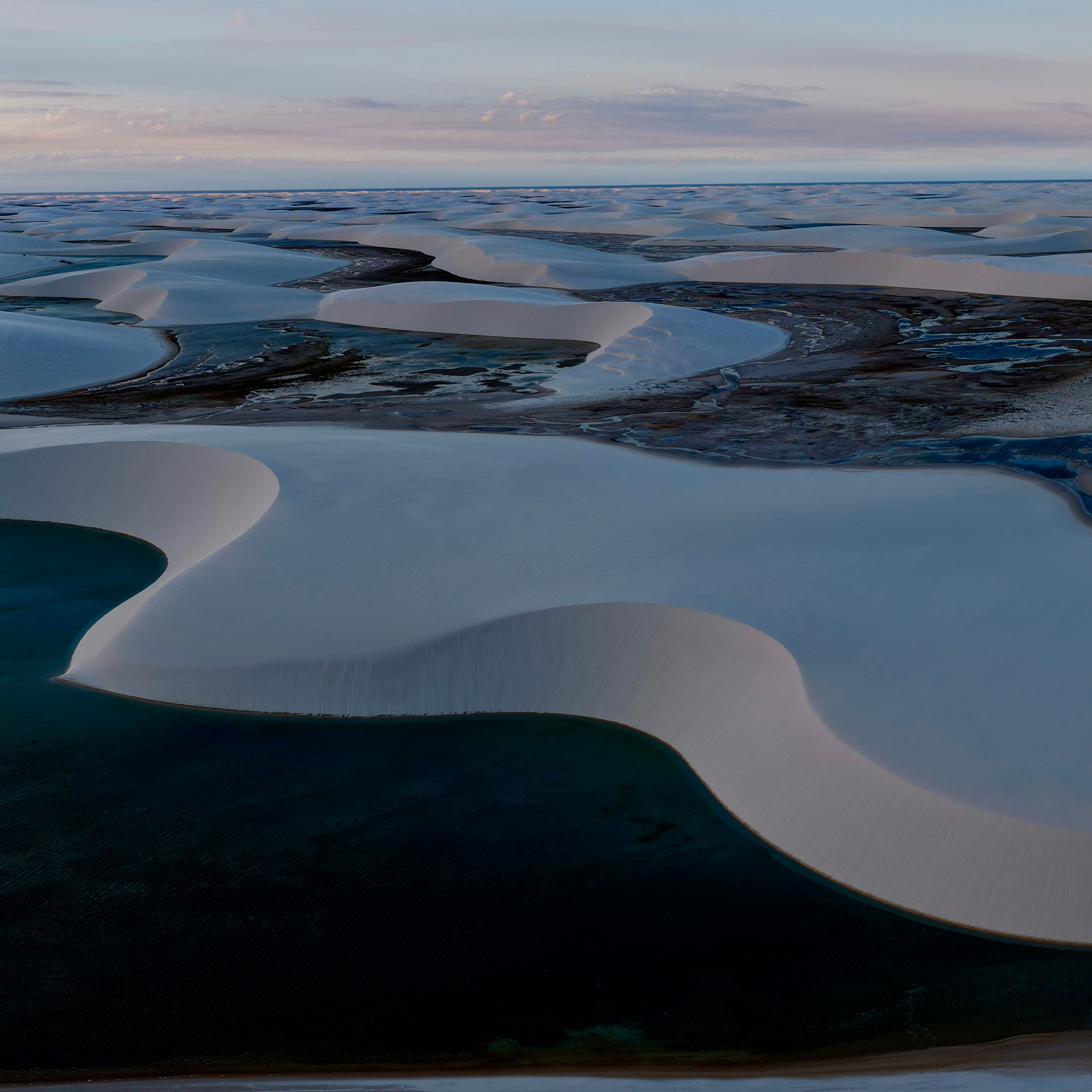
This is the fact that changes the way you plan the trip more than any other: the lagoons form exclusively from rainwater, not from river or sea water. The rain gathers in the depressions between one chain of dunes and the next and, on hitting an impermeable layer beneath the sand, it does not drain away: it stays on the surface, forming freshwater lagoons that are clear and surprisingly warm.
Two practical consequences follow from that. The first is that there are lagoons only a few months a year, and the rest of the time the landscape is dry sand. The second is that no lagoon ever repeats itself: because the dunes move, each rainy season draws a new map of water mirrors. Nobody —not even the local guides— can guarantee that the lagoon you saw in a photo will still exist the year you go.
A UNESCO World Heritage Site since 2024
In July 2024, the World Heritage Committee inscribed Parque Nacional dos Lençóis Maranhenses on the World Heritage List as a natural property, with an inscribed area of 156,562 hectares. The designation rests on two criteria: (vii), for its exceptional natural beauty, and (viii), for its geological value as one of the best and largest examples of coastal dune formation of the Quaternary.
UNESCO also highlights the associated biodiversity: more than 40,000 hectares of restinga, alongside mangroves and marine ecosystems, in a transition zone between the Cerrado, the Caatinga and the Amazon. It is an ecosystem that looks empty but is in fact full of highly specialised life.
January to May: the rainy season
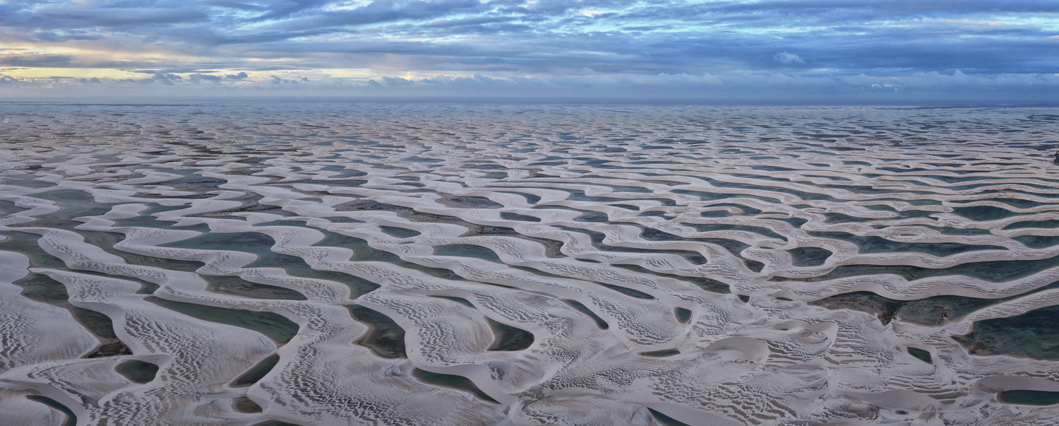
This is when the water falls and the lagoons fill up, with peak rainfall in March and April (above 300 mm a month). The landscape is being created, but the weather is unstable, skies are overcast and access becomes complicated. It is not the best time to photograph, although it is the most dramatic in terms of clouds.
How to photograph Lençóis Maranhenses
The two windows of light
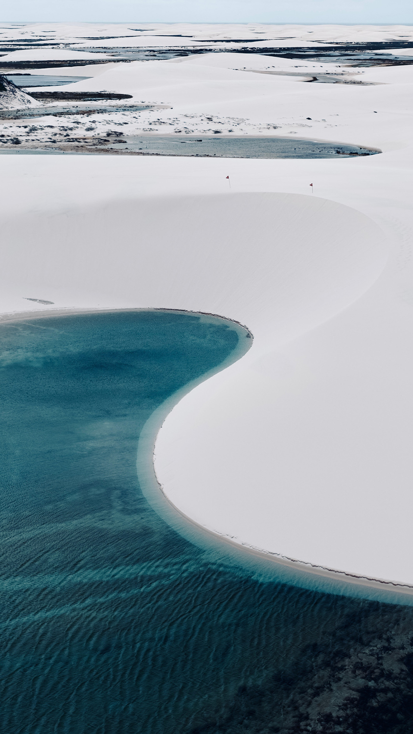
Here the day is organised around two moments: sunrise and sunset. With the sun low, the sand lights up in golds and ochres, the ridges draw clean lines and the lagoons turn into perfect mirrors. In the middle of the day, by contrast, the white sand bounces back a brutally hard light that flattens the relief and drains the colour from the lagoons.
It is also worth staying on after sunset: the almost complete absence of light pollution makes Lençóis an extraordinary place for night photography, with the Milky Way reflected on the lagoons.
Gear: what to take and what to leave at home
- Wide angle (16-35 mm or equivalent) for compositions that bring together dune, lagoon and sky.
- Short or medium telephoto (70-200 mm): essential for compressing the layers of dunes and isolating the curves of sand. It is the lens we use most here, ahead of the wide angle.
- Lightweight tripod, above all for night work and the blue hours.
- Polarising filter, to control the reflection on the water and decide whether you want a mirror or transparency.
- Protection against sand: dry bags, covers and microfibre cloths. The sand in Lençóis is extremely fine and gets in everywhere. Avoid changing lenses when it is windy.
- Water, a cap and sun protection. There is no shade on the dunes. None.
Composition: look for the detail rather than the record shot
The initial temptation is to try to take it all in, and the result is usually a flat image in which the scale is lost. The opposite works much better: look for a curve, a reflection, a tiny human figure on the ridge to give a sense of size. The repetition of shapes —dunes, shadows, lagoons lined up one after another— is the great graphic resource of this place.
Drones and commercial photography: check the permits
One point many travellers overlook: because this is a national park, the use of drones, commercial photography and research projects require prior authorisation from ICMBio, processed through the relevant federal systems. If your trip has a professional purpose or you want to fly a drone, look into it and apply for the permit well in advance: it is not something you can sort out on the spot.
Travel slowly, tread lightly
An ecosystem this fragile and this changeable allows only one way of visiting. We travelled by 4×4 with local drivers, slept in accommodation in the area, hired local guides and left the dunes exactly as we found them. No swimming with freshly applied sunscreen in the lagoons, no waste, no straying off the authorised routes.
It is also the only way for the benefit of tourism to stay in Barreirinhas, in Santo Amaro and in Atins, rather than evaporating on its way somewhere else. You can read how we apply this approach to all our trips on our sustainability page and in our manifesto.
What did not go right on our first trip
And here we have to be honest, because this was our first trip to Lençóis and, like every first trip to a new destination, it was as much a scouting mission as an expedition. The local agency we hired is very good at what they do. The problem is that what they do is tourism, and we are not tourists: we are photographers. We insisted from the very beginning on our timing, on our light and on the way we work, but the logistics in this area are complicated and never quite matched what we needed.
On top of that came the wind. A lot of wind. And the combination of the two —logistics designed for ordinary visitors and genuinely demanding conditions— meant that some of the travellers with us did not get the trip they had been hoping for. It was nothing that could not be worked around, but it was real, and from here I want to apologise to them. Without naming anyone, but knowing perfectly well who I am talking to.
We could leave this out. A company blog is there to show what goes well. But I think it is only fair, and it is also part of what we are trying to convey here: when you open up a new destination, the first trip is always about learning the ground, and learning the ground sometimes goes sideways.
The good part is that this trip left us with exactly what we needed for the next one. We now have the contacts, we know where and at what time to be, we have located the spots for photographing endemic birds and we work with local drivers who hold permits to reach the most remote areas of the park. Next time we go back, we will go back with the photographic logistics sorted.
Photograph this landscape with us
At Zero Expeditions we design photographic expeditions in small groups, with local guides and a pace built around the light, not around the calendar. If you want to photograph Lençóis Maranhenses with us, get in touch and we will tell you when we are going back and how the trip is organised.
In the meantime, if you are drawn to Brazil and to extreme landscapes, take a look at our expedition to the Pantanal, to the Uyuni Salt Flats or to the Utah desert. You can see all our departures on our expeditions page.